If you’re trying to survey a piece of land, you might be looking for GPS/GIS surveys. A land survey is when surveyors or builders accurately determine the two or three-dimensional position of points on a piece of land, along with the angles and distances between them. These points are usually used to establish land maps and ownership boundaries, determine locations, and explore an area. Land surveying has civil, commercial, and private uses.
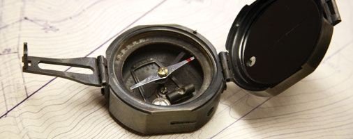
So what are GPS/GIS surveys? A GPS, or Global Positioning System, survey uses precision survey grade Global Positioning Receivers, which establish vertical and horizontal values for remote locations. The measurements can be determined without needing a clear sight line between the points on the ground, which means the surveyor can work in extraordinary terrain and cover large areas efficiently and precisely. This GPS equipment is occasionally used to gather horizontal and vertical positions of existing features. These include but are not limited to boundaries, topography, improvements, and planned construction locations. The surveyor should be professionally trained in calibration, setup, and proper data collection with GPS systems.
GIS, which stands for Geographic Information System, is a kind of computer-mapping database that is used to delineate a huge variety of both geographic features and all their attributes. It is used to prepare digital maps that help government agencies and also the private sector to obtain highly valuable information on geographic features. This is used for obtaining data for a variety of uses, such as managing resources. It is important to survey property improvements. This data can be obtained from an aerial photogrammetric method which has ground control to help obtain an accurate and precise digital drawing.
A boundary survey can be used to determine the locations and orientations of utilities on a property, as well as outlining what the property looks like to give you a good idea of what you’re dealing with. GPs/GIS surveys are a great way to learn about and understand your land.

 RSS Feed
